


George Fisher's walk of the month: Buttermere to Seatoller
Get active outdoors with Britain on Foot
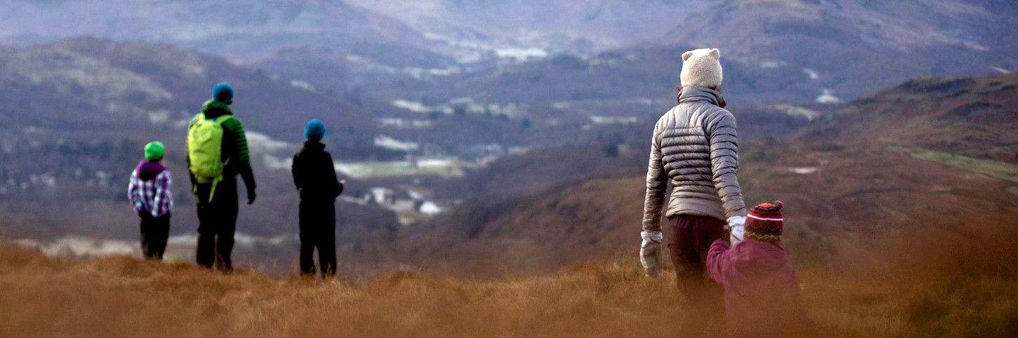
Britain on Foot is an initiative with one clear objective; to encourage more people in Great Britain to get active outdoors. It’s all about getting fitter, healthier and happier! This could mean walking to work, hillwalking, geocaching with the family, trail running or even mountaineering. Take a quick look at the Britain on Foot website britainonfoot.co.uk where you can upload your own activity and share your experiences with thousands of other like-minded individuals. It’s a socially interactive, community-led site that’s continually updated. So take your first step and sign up today!
This month's walk: Buttermere to Seatoller
This is a linear, full-day mountain walk. From March to October, the extensive Lake District bus network opens up (almost) all corners of the park to walkers. While it is easy to head up the famous peaks, the real joy is found in starting in one valley, getting up high and finishing somewhere else. This route is a classic; from Buttermere, head over Red Pike, High Stile, Hay Stacks and Great Gable before finishing in Seatoller. With most of the day spent up high, there's no better way to explore the western fells.
Loop or linear? Linear
Maps: OS Explorer OL4 - The English Lakes (NW area)
Total distance: 18.6km (11.6 miles)
Total height gain: 1,600m (5250ft)
Start: Buttermere, OS Grid: NY175169
Unsuitable for: younger children, buggies, wheelchairs
Public transport: the Keswick-Buttermere Circular (The Honister Rambler)
1. Buttermere OS Grid: NY175169
Take the Honister Rambler to Buttermere. Ask for a day ticket that will enable you to go home from Seatoller.
2. Past Buttermere OS Grid: NY173163
About 0.6 km (roughly 0.4 miles) from 1
Take the path across the fields to Burtness Woods. It then climbs steeply through the woods.
3. Bleaberry Tarn OS Grid: NY165154
About 1.2 km (roughly 0.7 miles) from 2
The path meets Sourmilk Gill and heads on to Bleaberry Tarn - one of the great viewpoints around Buttermere. Worthy of a flapjack moment.
4. Red Pike OS Grid: NY160153
About 0.6 km (roughly 0.4 miles) from 3
First top of the day is Red Pike. From here, it's many joyous hours of high-level walking. – worth the last, very steep pull up onto the summit!
5. High Stile OS Grid: NY169147
About 1.1 km (roughly 0.7 miles) from 4
Follow the distinct, but well-maintained (by the National Trust) path along the crest of the ridge to High Stile.
6. High Crag OS Grid: NY180139
About 1.4 km (roughly 0.9 miles) from 5
From High Crag, there's a bit of a drop down to Scarth Gap... Gamlin End!
7. Haystacks OS Grid: NY194131
About 1.6 km (roughly 1 miles) from 6
...and a spiriting climb back up to Hay Stacks. From Hay Stacks, continue heading southeast to Blackbeck Tarn.
8. Brandreth OS Grid: NY215119
About 2.4 km (roughly 1.5 miles) from 7
The flatter ground leads to Brandreth, the high point of the ridge to the south of Grey Knotts. Take the path (again well trodden) towards Green Gable.
9. Green Gable OS Grid: NY215106
About 1.3 km (roughly 0.8 miles) from 8
The classic 'little brother/sister' hill of the Lakes - 801m, but vastly overshadowed by big brother to the southwest.
10. Great Gable OS Grid: NY211103
About 0.5 km (roughly 0.3 miles) from 9
One of the Lakes' classic tops, and the final high point of the day, which weary group members may be pleased to hear. From the summit, there is a direct path down to Styhead Tarn, but if you can manage it, take the southwest path to visit Napes Needle.
11. Napes Needle OS Grid: NY209099
About 0.5 km (roughly 0.3 miles) from 10
A monument in the world of UK climbing - many of the early climbers honed their skills on this striking finger of rock. Head past the needle towards Styhead Tarn. (erm ... no mention of the rocky ground, etc)!
12. Styhead Tarn OS Grid: NY221099
About 1.2 km (roughly 0.8 miles) from 11
At Styhead, a bridleway follows the gill down towards Seathwaite.
13. Taylorgill Force OS Grid: NY229109
About 1.2 km (roughly 0.7 miles) from 12
You'll need little excuse for a stop by this stage, so take a moment to enjoy the majestic Taylorgill Force waterfall.
14. Seathwaite OS Grid: NY235121
About 1.4 km (roughly 0.9 miles) from 13
The hamlet of Seathwaite sits at the southern end of the valley. Pick up the Allerdale Ramble path, rather than walking along the road.
15. Seatoller OS Grid: NY245137
About 1.9 km (roughly 1.2 miles) from 14
Finish at Seatoller for the bus home or, even better, get the bus tomorrow and spend a night camping in this beautiful valley. ... erm, and carry a tent & all your camping kit for 12 miles and over 5000’
19 September 2016 by George Fisher
Date: 28 Oct 2016